Beijing Geography
2 min readBeijing is situated at the northern tip of the roughly triangular North China Plain,which opens to the south and east of the city.
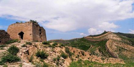
Mountains to the north,northwest and west shield the city and northern China’s agricultural heartland from the encroaching desert steppes.The northwestern part of the municipality,especially Yanqing County and Huairou District,are dominated by the Jundu Mountains,while the western part is framed by Xishan or the Western Hills.The Great Wall of China across the northern part of Beijing Municipality was built on the rugged topography to defend against nomadic incursions from the steppes.Mount Dongling,in the Western Hills and on the border of Hebei,is the municipality’s highest point,with an altitude of 2,303 metres.
Major rivers flowing through the municipality,including the Chaobai,and Yongding and Juma,are all tributaries of the Hai River system,and flow in a southeasterly direction.The Miyun Reservoir,in the upper reaches of the Chaobai River,is the largest reservoir within the municipality.Beijing is also the northern terminus of the Grand Canal to Hangzhou,which was built over 1,400 years ago as a transportation route,and the South-North Water Transfer Project,constructed in the past decade to bring water from the Yangtze River.
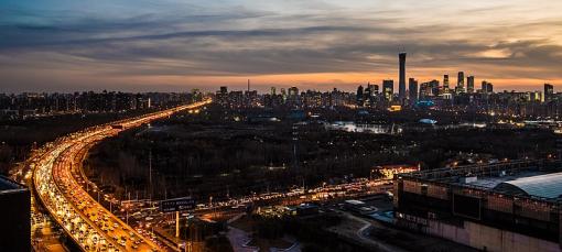
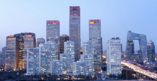
The urban area of Beijing,in the south-central of the municipality with elevation of 40-60 m,occupies a relatively small but expanding portion of the municipality’s area.The city spreads out in concentric ring roads.The Second Ring Road traces the old city walls and the Sixth Ring Road connects satellite towns in the surrounding suburbs.
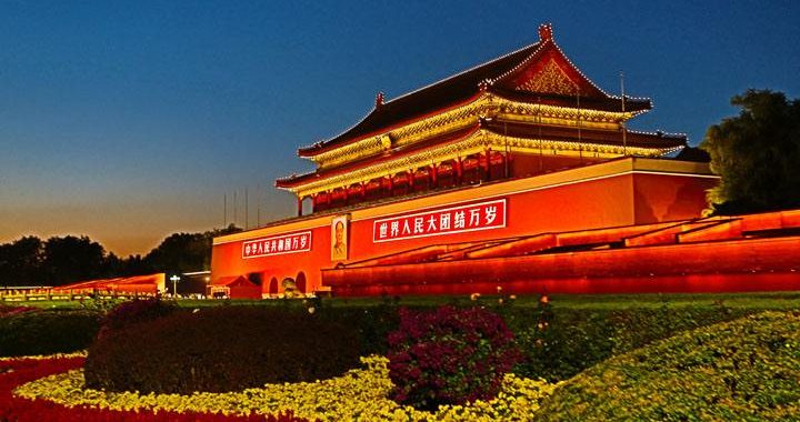
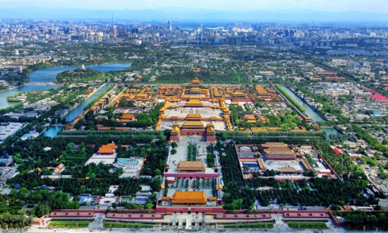
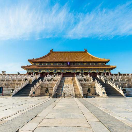
Tian’anmen and Tian’anmen Square are at the center of Beijing,directly to the south of the Forbidden City,the former residence of the emperors of China.To the west of Tian’anmen is Zhongnanhai,the residence of China’s current leaders.Chang’an Avenue which cuts between Tian’anmen and the Square forms the city’s main east-west axis.
