Climate Characteristics of Xinjiang
2 min readXinjiang is far from the sea, and surrounded by the high mountains, belonging to the typical temperate continental arid climate; and the average annual rainfall is about 150mm, which is only about 1/4 of the average rainfall in China, thus Xin jiang is the region of least rainfall. Winter in Xin jiang is long and cold, summer is short and hot, and the climate of spring and autumn is variable.
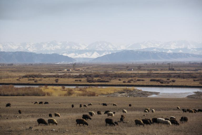
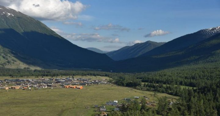
There is the hottest Turpan Basin, and the temperature is often as high as more than 40 Cin summer which in Keketuohai of fuyun County of the north, the extreme low temperature can reach -51.5C, only next to that of Mohe County in Heilongjiang Province. The Northern Xinjiang belongs to middle temperate zone, where there are more rainy days in mountains; and Southern Xinjiang belongs to warm temperate zone, where the weather of dust and sandstorm is more common in the plain area. In summer, the temperature in mountains declines obviously in vertical, with a lapse rate of 6C-8C/1,000 m, In winter, there is a thermal inversion layer at the middle belt of the north slope of Tianshan Mountains, with a gaining rate of 3C-5C/1,000 m.

The precipitation in Xinjiang mainly comes from the atlantic prevailing westerly flow and then the cold wet airflow from the arctic Ocean: Pacific and the Indian Ocean monsoon can hardly blow into Xinjiang. The distribution of precipitation is that there is more precipitation in Northern Xinjiang than Southern Xinjiang, more in the west than the east, more in the mountains than plains, more in the edge of the basin than the center of basin, and more in the windward slope than the leeward slope.
The annual rainfall in the northern mountainous is 400-600 mm, where some parts is close to 1000 mm; and it is 20-400 mm in the southern slope of Tianshan Mountains. 200-300 mm in the northern slope of Kunlun Mountains, 150-250 mm at the edge of Junggar Basin, and 100-150 mm in the central andeastern parts, 50-70 mm at the western and northern edges of Tarim Basin, 20-50 mm at the eastern and southern edges, less than 20 mm in the center, and only 4 mm near Tuokexun County in the Turpan Basin.

