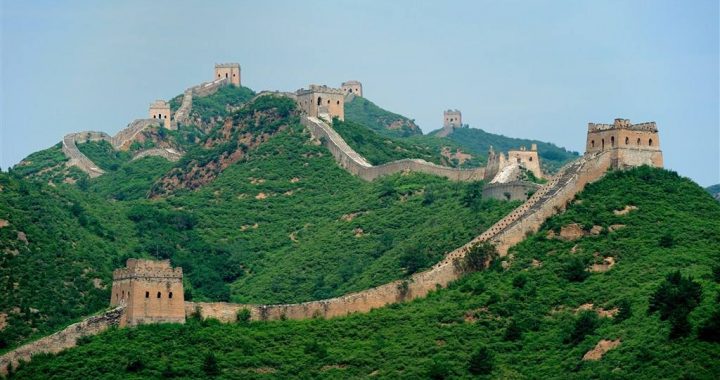
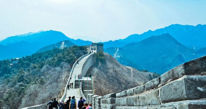
The Wall Of The State Of Qin the Great Wall Still Stand
3 min readThe State of Qin in the Warring States Periods(475 BC-221 BC)was a great power;its strong national power and vast territory was incomparable among other ducal states.The west border of the State of Qin extended till the east part of the present-day Gansu province,and most part of Shaanxi province belonged to the Qin Empire;in the east it bordered upon the States of Wei and Han,and abutted with the States of Chu and Shu in the south;while in its west and north it was next to the ethnic minorities in China.The capital of the State of Qin was in the present-day Fengxiang City in Shaanxi province.All the rulers of the State of Qin were very ambitious,and in order to contend for the hegemony of the central plain area and then further unify the whole country,the State of Qin moved its capital to Xianyang,which was in the east of the present-day Xianyang City in Shaanxi province,in the 12th year of Xiaogong reign(350 BC).
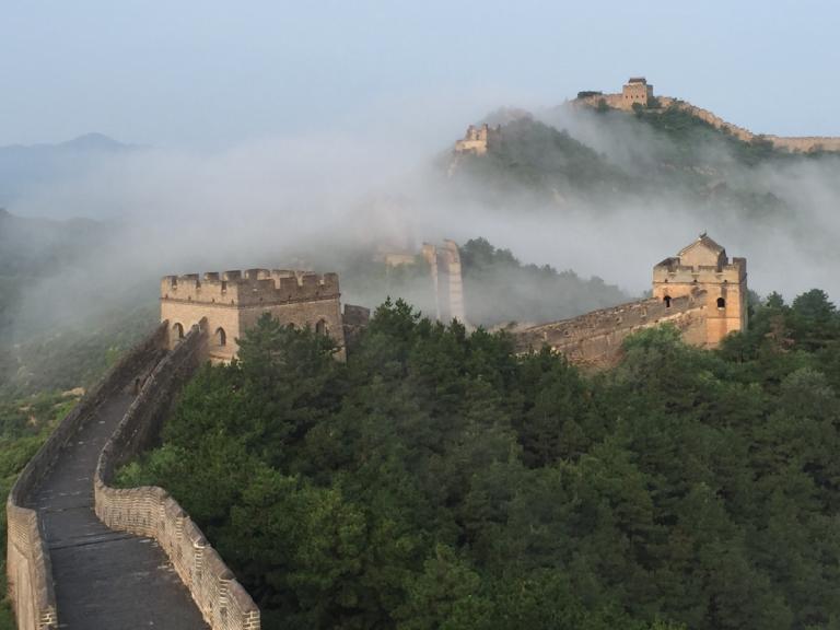
The original aim of building the wall at that time was to counter the invasion of the ethnic minorities, and the State of Qin was no exception to it. The Xiongnu people were a minority group of ancient China mainly distributed in the north of China. They lived a typical nomadic lifewith stock raising as their major way of life. They were well-known for their skills in shooting arrows, huntingand fighting, which however affected the normal life of people living in the north part of the central plains. Thus, King Zhao ordered to build a long wall along the line of Shaanxi province, Beidi and Shangjun to fend off the invasion of the Xiongnu people. This long wall was named Qin Great Wall, and some people also called it QinZhaowang(King Zhao) Great Wall. The latter name was used to be distinct from the famous Qin Shihuang Great Wall at the later time.
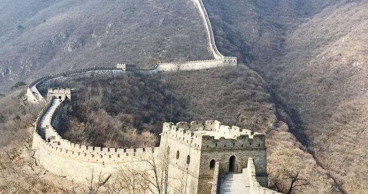
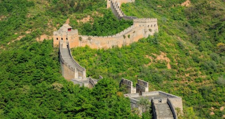
The Qin Zhaowang Great Wall still stands on the boundless Loess Plateau till now, meandering like a long snake. It started from Lintao County in Gansu province in the west, and extended to the southeast; after it reached Weiyuan Plain it turned to the northeast. Then the wall passed through Tongwei and Jingning counties in the northeast.
The ruins of the wall built by direction till the prethe State of Qinsent-day Guyuan County in Ningxia Hui Autonomous Region, and then it turned to extend to the northeast, passing Huanxian County in Gansu province, Hengshan area, Yulin and Shenmu counties in Shaanxi province, and ended at the west bank of the Yellow River at last. The wall had a total length of about 2,000kilometers, looking quite grand and majestic. Except the section in Inner Mongolia Autonomous Region which was constructed with both rammed earth and stone, the Qin Zhaowang Great Wall was all stamped with loess.
In the inner side the Great Wall there usually built the beacon towers and forts. Beacon towers were used by people to pass signals; when the enemies came, signal fire would be lighted up on the beacon towers, thus the enemy’s situation could be passed to the defending troops on the Great Wall and the generals inside the Great Wall.
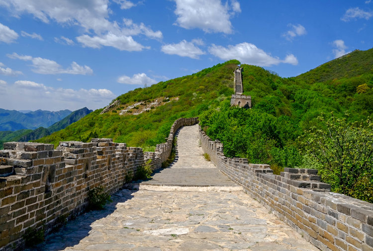
They could help prepare and organize the army to counterattack the enemies. The beacon towers were usually built on high places with an open view in order to pass the signals accurately. The sites of the beacon towers were found along the walls of the State of Chu and the State of Wei in the west of the Yellow River, but not many; maybe some were destroyed because of so many years’ weathering. In comparison, the number of beacon towers along and inside the Qin Zhaowang Great Wall was much larger, about one in every 1-3 kilometers on average and 1,000 in total. The beacon towers usually were of the shape of a round plat-form, varying from 2 to 5 meters in height. They were just like the old and weather-beaten people, witnessing the great changes in history.
